If you read nothing else
- The hike follows a pre-Hispanic camino, the Inca trail of Chataquila, downhill for 6km to Chaunaca.[1]
- The ride from Sucre to the Chataquila trailhead, the start of the Maragua Crater hike, takes about 1.5 hours.[1]
- Sucre sits at around 2,810 metres above sea level; Maragua, on the trek itinerary, is listed at 3,100 metres.[2][3]
- The guided day runs 10 hours, from Chataquila along the Camino del Inca to Chaunaca and on to the Maragua Crater.[4]
- May to October is ideal for visiting Sucre and the high-altitude cities and trekking regions of the Bolivian Andes.[5]
- Top choice Crater and Inca trails from US$95 Duration10 hours[4]GuideSpanish, English[4]Reviews4.76 from 100 reviews[4]CancellationFree cancellation up to 24 hours[4] Check availability
- Crater and footprints day from US$159 Duration8 hours[6]GuideEnglish, Spanish[6]ReviewsNo reviews yet[6]CancellationFree cancellation up to 24 hours[6] See this tour
- Two days, Inca trails from US$125 Duration2 days[7]GuideEnglish, Spanish[7]Reviews4.95 from 12 reviews[7]CancellationFree cancellation up to 24 hours[7] See this tour
The museum is an integral part of the Indigenous Art Revival Program, initiated by ASUR in 1985. From its beginning, the program mainly aimed at reviving the traditional textiles and generate additional income for the indigenous communities of the Jalq’a and Tarabuco cultures.
Is the camino del Inca day trek worth it?
Read before booking
The name problem: which camino del Inca?
Say camino del Inca in Sucre and you could mean a continent-spanning road system, a paved stairway behind a chapel, or the path a guide points out from the rim of a crater. On the ground here the phrase almost always means one short, walkable stretch. The hike near Maragua follows a pre-Hispanic camino, also known as the Inca trail of Chataquila, downhill for 6km.[1] That stretch is the spine of most day trips, and it is what this page is about.
The day trip sold as the 1-day trek in the crater of Maragua and Inca trails runs from a pickup point by jeep or SUV to Chataquila, along the Camino del Inca, down to Chaunaca, on to the Maragua Crater, and back.[4] Read the stop list and the shape of the day is clear: the old road in the middle, a vehicle at either end, and the crater as the reward after the descent. You do not have to choose which section to walk, which is a relief when you are standing in a square in Sucre at dawn.
What the road network was
The camino del Inca was never a single trail. The system the Quechua call Qhapaq Ñan linked highland towns, valley floors and the far edges of the empire, and the engineers who built it worked with the land rather than against it. Where the ground was soft they laid flat stones; where it was steep they cut steps; where water gathered they ran channels across the path and under it. Relay runners carried messages along the route, and llama caravans carried almost everything else. The result was less a hiking trail than a piece of infrastructure.
The section near Sucre is a local branch rather than a highway, and it has survived well because so little has been built over it. The Maragua crater hike follows it downhill for 6km to Chaunaca.[1] Walking it is the closest most visitors get to the road as it was used: no fence, no visitor centre, just paving under your feet and a village at the bottom.
Reading the ground is half the pleasure. A straight, evenly spaced run of stones usually means the builders had an easy gradient to work with; a staircase means they did not. Wide, flat stretches near a settlement were often the old equivalent of a plaza or a resting place, and the narrow sections with a wall on the downhill side were cut to hold a path on a slope that would otherwise slide away.
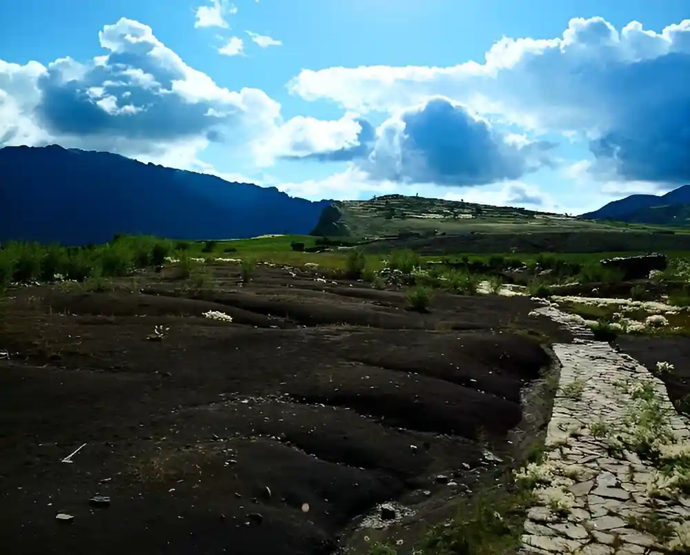
Stone paving and steps on the Inca trail descent towards Chaunaca
What survives here
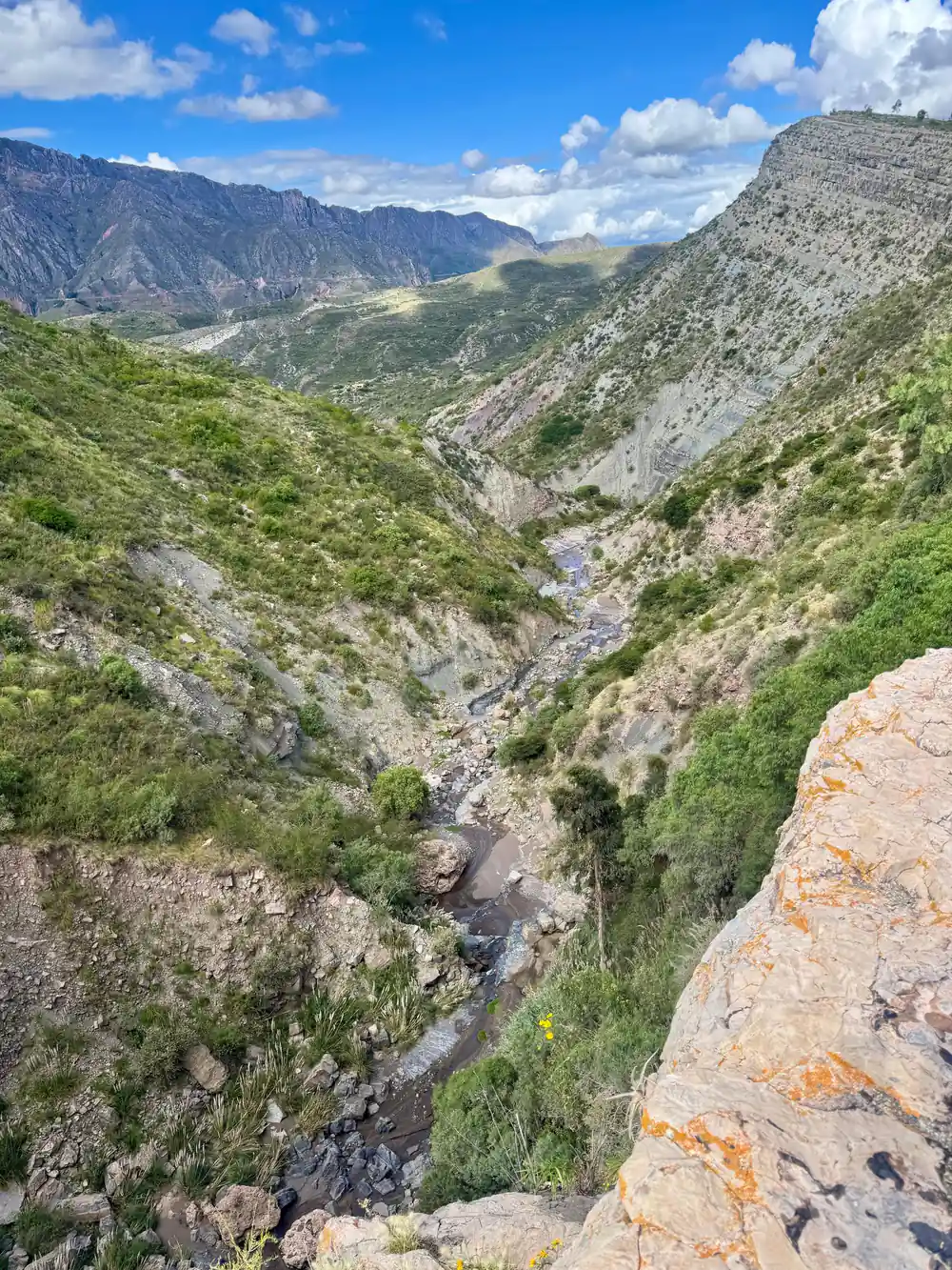
What you walk on is mostly original: flat-topped stones set into the slope, low retaining walls holding the outside edge on the steepest bends, and cut steps where the drop sharpens. In dry weather the surface is firm and quick underfoot. After rain the same stones turn slick, and the shallow drainage channels along the path are the reason the road is still there at all. The route crosses open, scrubby hillside with cactus, agave and thorn bushes, and the valley floor creeps closer with every bend.
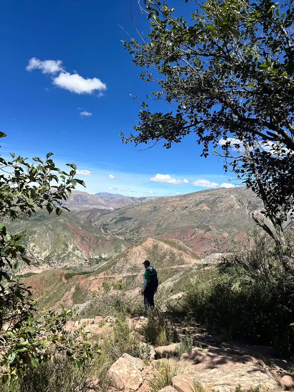
There is little shade, and exposure is the thing people underestimate. The sun at this altitude is strong even when the air feels cool, and the walk is mostly downhill, which is hard on the knees and easy on the lungs. Poles help. So does starting early, drinking more water than you think you need, and stopping to look back at the rim of the valley instead of hurrying the descent.
Chataquila, at the top
The day begins with a drive, not a walk. The ride from Sucre to the Chataquila trailhead, the starting point of the Maragua Crater hike, takes about 1.5 hours.[1] Sucre sits at around 2,810 metres above sea level in what locals call eternal spring, with daytime highs between 20°C and 23°C year-round.[2] The trailhead itself is open and unsheltered, so the first thing you notice when the vehicle stops is the wind and the sudden width of the view.
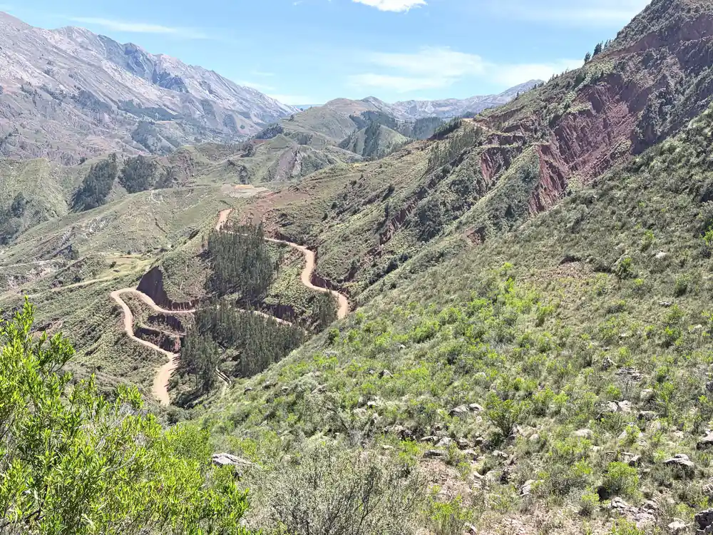
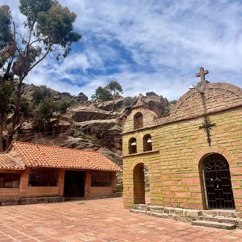
A small chapel marks the top, and the camino leaves the road just behind it, dropping off the shoulder of the hill.[1] From there the line of the old road is easy to read: a pale ribbon of stone running down the valley wall, with Chaunaca somewhere below. Take a minute at the top. Fill your bottle, tighten your laces, and get your layers right before you start.
from US$95
The 1-day trek in the crater of Maragua and Inca trails runs 10 hours with a live guide in Spanish and English.[4]
The walk itself
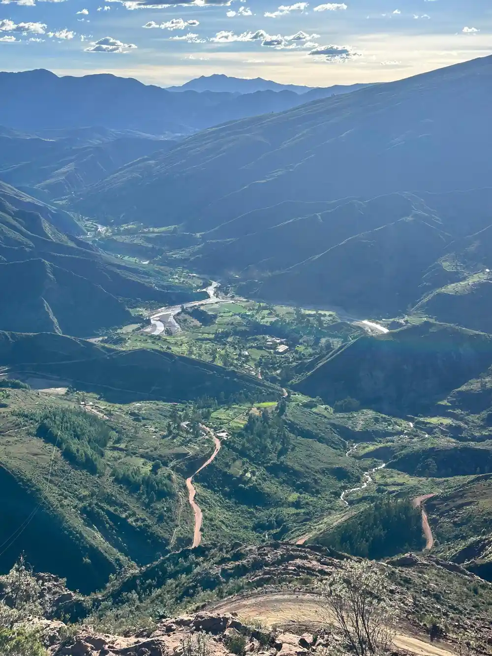
The descent is steady rather than brutal. The camino runs downhill for 6km to Chaunaca, on stone steps, packed dirt and long stretches of original paving, with the river and the fields at the bottom getting closer all the way.[1] In places the path narrows to a ledge with a drop on one side; in others it opens into a wide, sunlit shelf of rock. Footing changes constantly, so watch your feet more than your camera.
The guided version of this day runs 10 hours and has a live tour guide in Spanish and English.[4] Pickup is included, and you check availability for the details of where and when.[4] That matters more than it sounds: the trailhead is a long way from Sucre, and the day only works if the logistics do. Groups move at the pace of the slowest walker, which leaves room for photographs, water stops and the long look back up at the rim.
Light changes the valley more than you would expect. Looking back uphill in the morning and down towards Chaunaca in the afternoon gives the best sense of how the road sits in the landscape. If you are walking with a guide, ask which sections of paving were rebuilt and which were never touched; the difference is easy to see once someone points it out.
Chaunaca, at the bottom
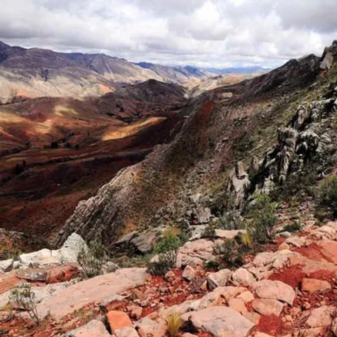
Chaunaca is a small farming village on the valley floor, with adobe houses, fruit trees and fields that follow the river. The camino arrives from above, and the contrast is sudden: after hours of stone and scrub you are among green plots and irrigation channels. From there the day trip continues by jeep or SUV to the Maragua Crater, listed at 3,100 metres above sea level on the itinerary.[3] The crater is not volcanic; it was formed by thousands of years of erosion.[8]
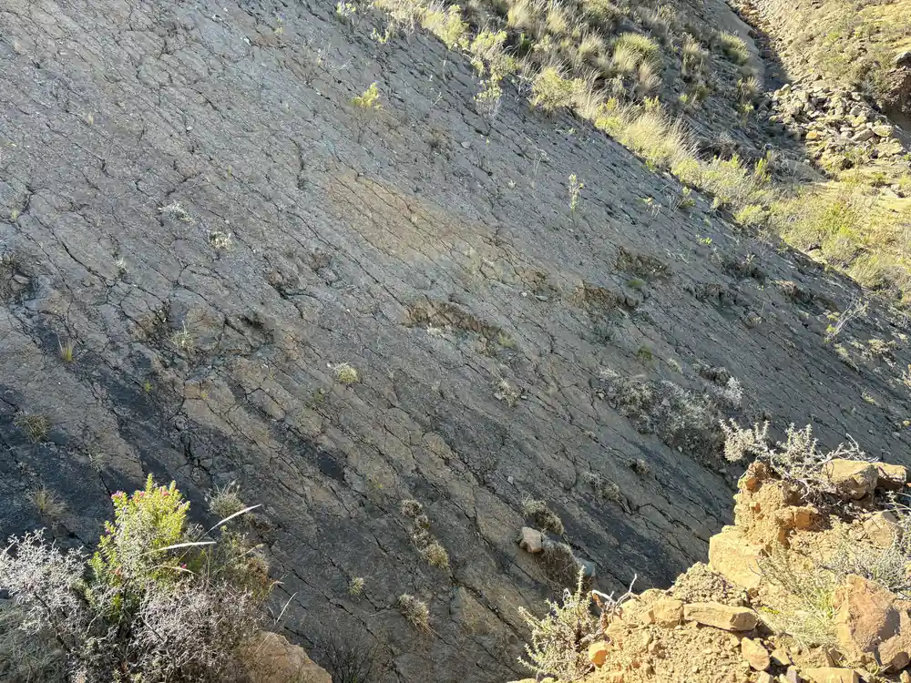
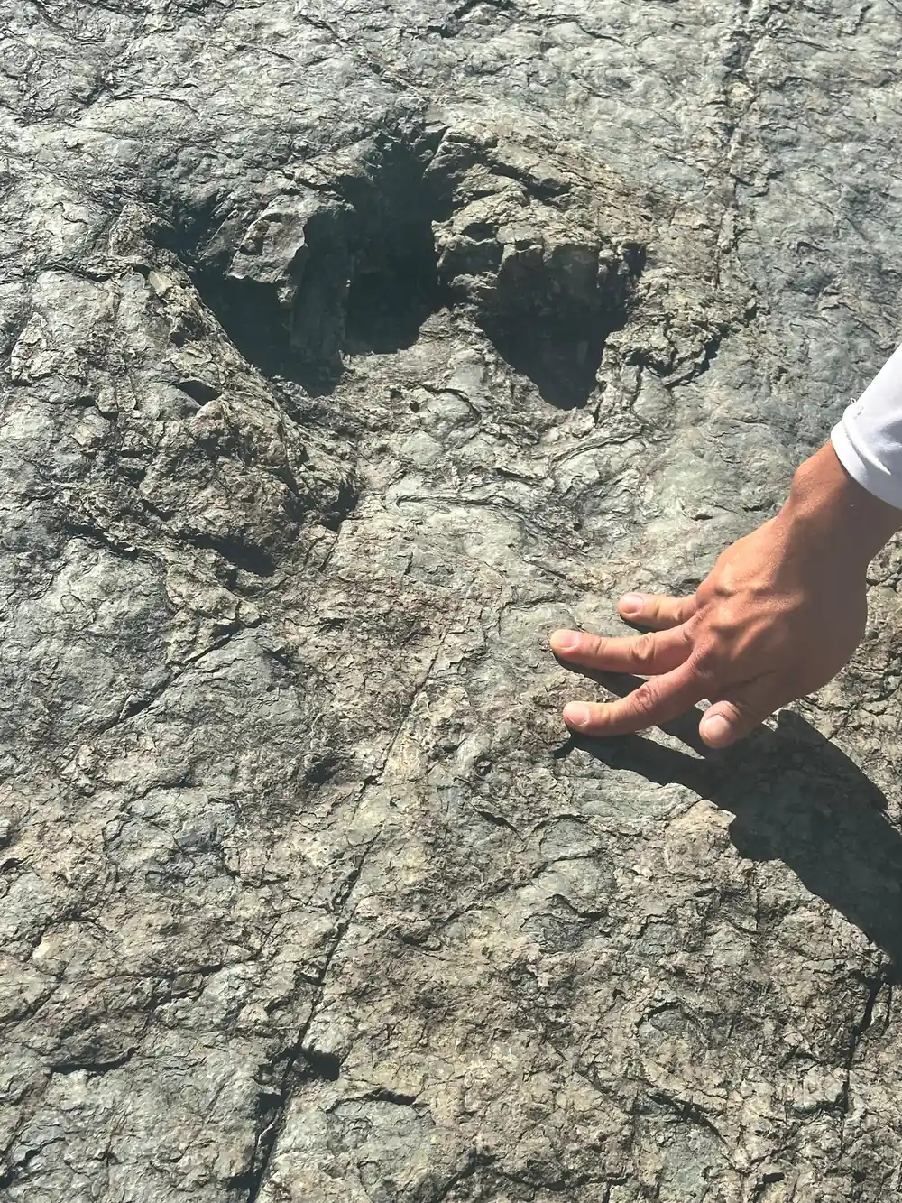
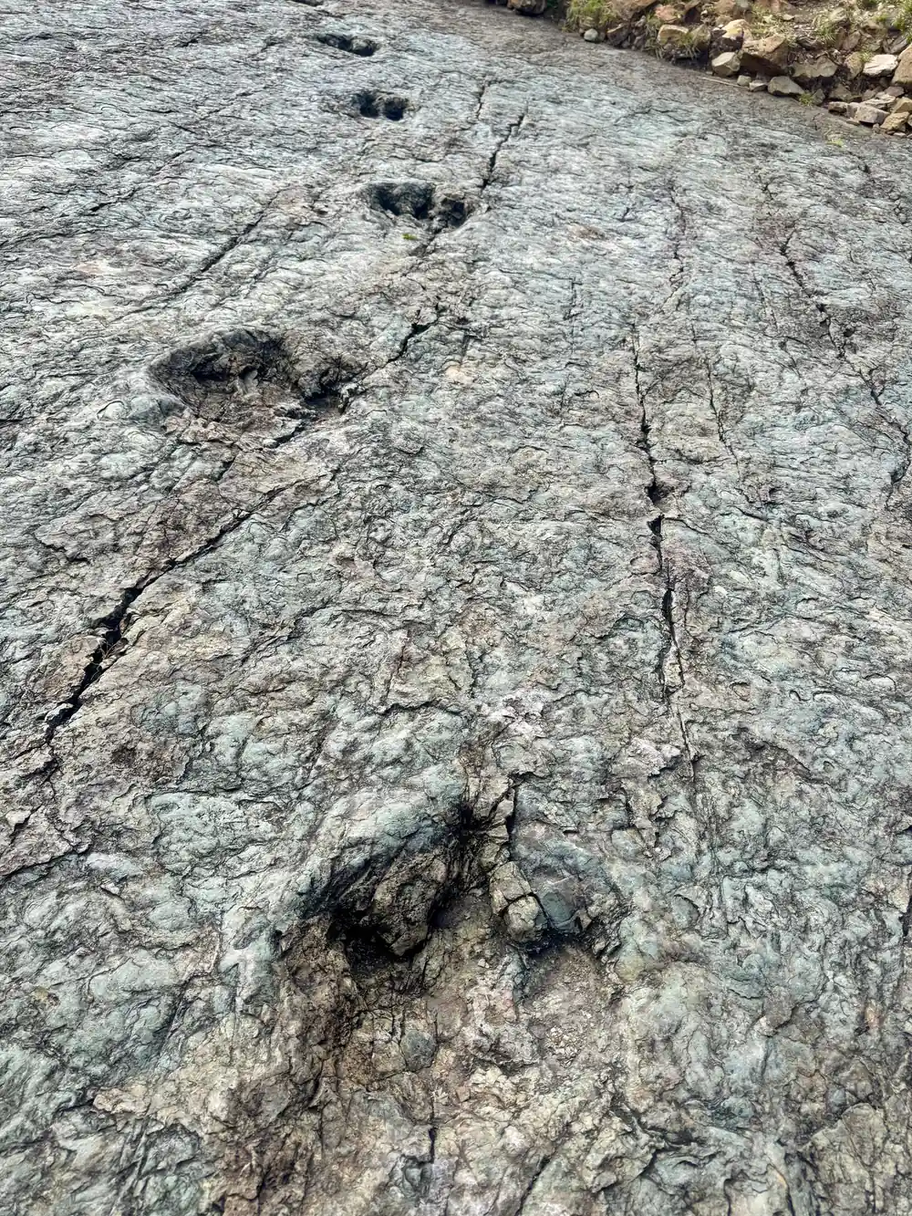
Maragua village sits inside that bowl, and not far from it is a set of waterfalls known as La Garganta del Diablo, the Devil's Throat.[8] Below the village the walk continues down to Niñu Mayu, where around 100 dinosaur footprints can be found.[1] The museum program behind the ASUR collection was initiated in 1985 to revive traditional textiles and generate additional income for the indigenous Jalq'a and Tarabuco communities.[9]
Walking an old road
Plan the walk for the dry months if you can. May to October is ideal for visiting Sucre and the high-altitude cities and trekking regions of the Bolivian Andes.[5] Sucre's daytime highs sit between 20°C and 23°C year-round, and the city itself sits at around 2,810 metres above sea level.[2] A warm layer for the morning and a hat for the afternoon are the two things you will use most, and giving yourself a day or two in Sucre first is worth more than any piece of kit.
Pack water, a hat, sun cream and shoes with grip. The old road is uneven, the middle of the day is bright, and the descent punishes tired legs. On the booking side, the trek can be reserved now and paid later, and cancellation is free up to 24 hours in advance for a full refund.[4] Take the stories home, and let the dinosaur footprints at Niñu Mayu stay exactly where they are.
Ratings for Maragua and Inca trail tours
Ratings as listed on GetYourGuide for these tours.[4][7][10]
From prices for Inca trail and crater tours
From prices in US dollars from GetYourGuide listings.[4][6][7][10]
When to walk the camino del Inca
How the day runs
Pick up in Sucre
Pickup is included: check availability for details on where the jeep or SUV collects you.[4]
Ride to Chataquila
The road from Sucre to the Chataquila trailhead takes about 1.5 hours.[1]
Down the old road
From Chataquila the pre-Hispanic camino descends for 6km to Chaunaca.[1]
On to the crater
The day continues by jeep or SUV to the Maragua Crater, listed at 3,100 metres.[3][4]
Footprints and home
Below Maragua the walk drops to Niñu Mayu, where around 100 dinosaur footprints sit.[1]
Walk the camino del Inca from Chataquila to Chaunaca
from US$95Reserve now & pay later